All photos and text Copyright © 2001-2004 Gordon Richardson gordonr@iafrica.com
Click on thumbnails to view full size
All images are compressed Jpegs - mostly 800x600 (<45K)
Chapman's Peak Drive is one of the most scenic routes in the world.
Rockfalls are a perennial threat, and in December 1999 the route was closed.
Update: The slopes of Constantiaberg and Chapman's Peak above Hout Bay
were badly burned in a series of fires from 16 to 19 January 2000.
The route re-opened as a toll-road in December 2003.
Chapman's Peak Drive - Mar '04
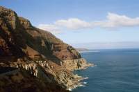
Chapmans Peak and Kommetjie from Constantiaberg - Jun '03
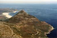
Chapman's Peak from Silvermine with Sentinel towards Hout Bay - Oct '02

Hout Bay and Little Lion's Head from Chapman's Peak - Dec '01

Hout Bay and Chapman's Peak from Little Lion's Head - Nov '01
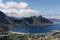
Chapman's Peak and the Sentinel from Karbonkelberg - Apr '01

Chapman's Peak Drive and erosion - late Jul '00
The road is far from re-opening after the fire and rockfalls

Burned Chapman's Peak from upper Silvermine - early Jul '00


Recovering from fire (Noordhoek side) - June '00
The upper slopes look quite green, the lower slopes not (see above)

Chapman's Peak Drive (burned area) - early May '00


Burned Chapman's Peak from Hout Bay beach - Feb/Mar '00

Burned Constantiaberg from Chapman's Peak drive - Feb/Mar '00


Burned area on Chapman's Peak from Hout Bay side - early-Jan '00


Burned Chapman's Peak from Kommetjie and Noordhoek - early-Jan '00 and mid-Jan '00

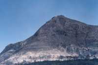
Chapman's Peak from Kommetjie - Dec '98
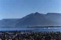
View past Karbonkelberg to Chapman's Peak and Noordhoek - June '82

View from Karbonkelberg past Chapman's Peak to Noordhoek and Kommetjie
photo courtesy of Kevin Richardson

Chapman's Peak from Hout Bay - Autumn '95

Spectacular views towards Kommetjie - late '92 and Nov '99


Chapman's Peak Drive from upper Silvermine - Jun '99

Hout Bay from Chapman's Peak Drive - Nov '99
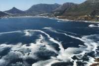
Waves on rocks below Chapman's Peak Drive - early Spring '96

Views over Noordhoek beach to Kommetjie - July '98
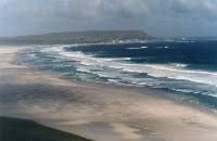
Click here to read about the history of Chapman's Peak via the Hout Bay Heritage Trust
[ Satellite Map | Home page | Links page ]